
North Platte Street Directory Walkthrough
A street-by-street search works best when it follows the permanent parcel trail instead of assuming that one name proves who lives at an address. In Lincoln County, the public assessor map can connect a normalized address to a parcel, its situs address, and a current owner record. The recorder then connects the parcel's legal description to recorded transfers. City permit material may add a job address and project parties, while historical directories and newspapers can add an older household layer. Each source has a different date and purpose.
- Normalize the delivery address with the USPS address tool, including any directional or unit detail, then search the address in Lincoln County gWorks.
- Save the parcel ID, situs address, owner field, mailing field, lot, block, subdivision, and legal description when those fields are available.
- Use the map's Assessor tab, Pan, Zoom, and Identify tools to inspect the parcel and adjoining parcels without turning map proximity into a household claim.
- Check the city permit route for address-specific work, then search the Lincoln County Register of Deeds by legal description and recorded party.
- For an older household question, ask the library about reverse or criss-cross holdings and compare the address with dated directory and newspaper evidence.
That order keeps the by-address search focused on what each record actually establishes. It also gives a fallback when the web map does not load a live card or an older deed is only indexed by book and page.
North Platte Parcel Search Fields
The Lincoln County gWorks Assessor and GIS shell exposes one combined quick search. It accepts a property ID, an address, or an owner name, but the inspected public view did not disclose partial-match behavior or the preferred order for names. Its public map also shows Assessor, Clerk, Emergency Management, Planning/Zoning, and Roads tabs. Start broad only when needed, then record the parcel identifier before moving to another record system.
| gWorks field or control | Form | Required | North Platte use |
|---|---|---|---|
| Property ID / PID | Quick-search text | Optional in combined search | Parcel key; aliases include PARCEL_ID, PARCEL_NUM, TAXPIN, PARCELKEY, and GIS_NUM. |
| Address | Quick-search text | Optional in combined search | Searches the property or situs address; exact partial matching was not published. |
| Owner | Quick-search text | Optional in combined search | Owner-name route; exact name syntax was not displayed. |
| Search and Details | Buttons | Not stated | Run the search, then open a property card when the map loads a result. |
| Identify and map tools | Map controls | Not stated | Measure, Draw, Photo, Print, Pan, Full Extent, Zoom, and Identify support parcel browsing. |
The assessor ArcGIS service is another public route to the county's map data. The unattended research did not capture a live parcel card, so no unobserved advanced fields should be assumed.
A view of the public gWorks property search shows the starting controls used for a North Platte address-based search.
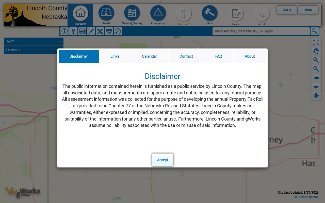
Use the displayed search as a parcel-finding tool, then preserve the returned address labels separately before following an ownership or address record.
North Platte Street Addresses Need Separate Labels
North Platte property research has two address concepts that must stay separate. A situs address identifies where a parcel or improvement sits. A mailing address identifies where tax notices or owner correspondence go. They can differ for many ordinary reasons, including an owner who receives mail elsewhere. The assessor's homestead-exemption information is also an assessment clue, not a statement that every person at an address is publicly identified.
- Parcel
- A mapped piece of land or property recorded under an assessor identifier. The parcel ID is a practical bridge between address research, the map, and the deed trail.
- Situs address
- The physical property address used by the assessor and GIS. It is not the same field as a tax mailing address.
- Plat
- A recorded map that lays out lots, blocks, subdivisions, or tracts. It can connect a street address with the legal description used by the recorder.
- Criss-cross directory
- An address-first historical directory. The North Platte library has not published its exact local run, so request the shelf inventory rather than assuming a year is held.
For early downtown work, the NDOT city-map library and the historic district's original-town context can help distinguish a street string from the lot or block recorded in a plat. The research did not verify a citywide renumbering year, so a missing modern address should be checked against maps and directories before drawing a conclusion.
North Platte Street Parcels on the GIS
Map browsing is especially useful when an address search fails or when a reader needs to understand one short street segment. In gWorks, zoom to the block, use Pan and Identify on the target parcel, then repeat Identify for touching parcels. The application exposes Planning/Zoning and Roads themes alongside assessor information. A Buffer control appears under Planning/Zoning, but the research did not confirm that it operates in the Assessor view.
Record only the parcel ID and property address for each mapped feature until a details view is available. Photo and Print can preserve a research note, but neither is a deed, a title opinion, or proof that a named person occupies the property. The value of this map work is geographic: it shows how address records relate to nearby parcels.
Note: Exact sublayer dates for flood, utility, school, and district themes were not published in the inspected gWorks materials.
North Platte Street Directory Record Coverage
Several custodians hold records keyed to a North Platte address, but they do not show the same thing. The assessor and GIS provide the current parcel framework. The Register of Deeds supplies the recorded instrument trail. Building and Inspection receives applications that identify a job site and project parties, while the Election Commissioner administers a limited individual-registration route. Match the question to the keeper, then retain the source date with the result.
| Address record | North Platte keeper | What the record can show | Access channel |
|---|---|---|---|
| Assessor parcel | Lincoln County Assessor | Owner, situs and mailing fields, values, tax district, age, size, and exemption clues. | gWorks public search; historical depth not stated. |
| GIS parcel | Lincoln County gWorks | Parcel geometry, identify results, and public map themes. | Public map; complete layer-date coverage was not published. |
| Recorded instrument | Register of Deeds | Grantor, grantee, legal description, recording date, document type, and instrument or book/page reference. | Office page and index route, counter, mail or fax copy request, and archival channels. |
| Plat or subdivision | Register of Deeds | Lot, block, subdivision, or tract layout. | Recorded plat and public office route; original plats are retained. |
| Permit application | North Platte Building & Inspection | Job address, owner, contractor, architect, lot, block, zoning, and flood-zone fields. | Office route and application form; no public case database was located. |
| Voter registration | Lincoln County Election Commissioner | Limited registration information under state law, not a street-wide roster. | Nebraska VoterCheck individual lookup and restricted statutory request routes. |
A parcel ID and legal description are the strongest links among these records. A street name is helpful, but it can be formatted differently across a permit, map, old directory, or deed book.
North Platte Address Permit Clues
North Platte's permit application materials provide an address-specific path when construction history matters. Residential, mechanical, right-of-way, miscellaneous, accessory-structure, and new-construction work can involve a job address. The residential form also has fields for owner, contractor, architect, lot, block, subdivision, zoning, and flood zone. An architect field is required only for a project over 10,000 square feet.
The city did not publish a searchable permit-case database in the inspected material. Contact Building & Inspection for an existing application or ask for a record through the Nebraska Public Records Act. Identify the address, project type, and date range. A permit can date work or name a project party, but it does not prove that person lived there.
Permit activity expires after 180 days when no construction activity is recorded. That rule describes the permit's activity status, not a person's connection to the address.
North Platte Street Deed Chain
The Lincoln County Register of Deeds turns a parcel into a historical transaction trail. Computer entry creates numerical tract and grantor/grantee indexes. Documents after March 2000 use an instrument number; earlier material uses a book and page reference. Legal-description searching matters because every recorded document is indexed against that description. Deeds, mortgages, releases, liens, UCC filings, and plats are among the record types listed by the office.
Start with the current owner as a grantee and the parcel's legal description. Read the purchase instrument for the prior grantor, date, document type, and any earlier reference, then search the prior grantor as a grantee for the same description. Check alternate names, trusts, estates, and abbreviations. If the online route stops, the office permits public viewing and copies and accepts mail or fax requests after payment. Recorded documents are scanned and microfilmed.
A view of the Register of Deeds record route shows the office that supports North Platte street-by-street deed research.
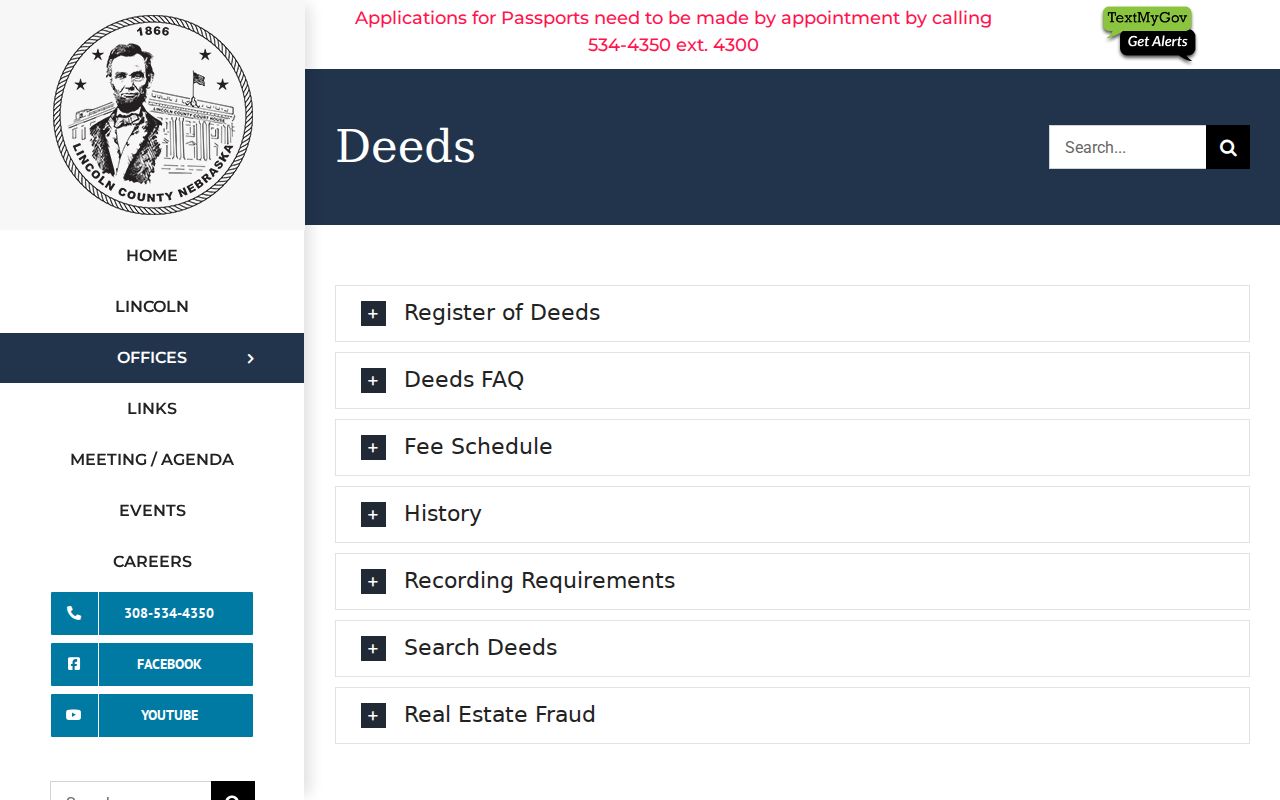
Use the office's instrument-number and book-page distinction to decide how to cite the deed reference when working backward through a street's parcels.
North Platte Voter Limits by Address
Nebraska VoterCheck is an individual registration check, not a browseable list of every person on a North Platte street. Nebraska law identifies fields that may occur in the register, including name, residential and mailing address, registration status, precinct, polling site, party affiliation, and voter history. Ballot choices are not public through that register.
Copies have separate limits under Neb. Rev. Stat. §32-330. The statute restricts who may make copies, what an authorized requester must provide, and the permitted uses. Protected and private voter records are withheld. Do not use an address search to work around an address-confidentiality protection.
North Platte Street Blocks Before Modern Maps
North Platte's original town plat dates to 1867. The Original Town Business Historic District lies between A Street, Front Street, Vine Street, and Chestnut Street, making lot and block language particularly useful for older downtown records. The county seat moved to North Platte in 1867, and the Lincoln County archival group preserves material from the nineteenth century onward, including a Register of Deeds series dated 1890 to 1980.
The 2026 historic-building survey records 1907 and 1908 building counts and names of downtown civic sites. Those dates and places can be useful search anchors in newspaper files, but they do not replace a parcel or recorded-instrument check. For address-to-occupant material rather than a modern parcel trail, the historical collections are treated in the North Platte Directory Book.
Note: The research found no verified citywide street renumbering or readdressing year for North Platte.
North Platte Address Privacy Boundaries
An address search cannot identify every household member, utility customer, delivery recipient, protected voter, or person with a confidential substitute address. DMV address data, sealed and juvenile court material, and nonpublic medical or license information have separate limits. The public assessor roll is an ownership and parcel source, not a list of people at a location. Treat a property result as one record, then seek independent, lawful evidence for any historical research question.
Lawful use. Use North Platte street and address records for personal research, family history, property context, or civic questions. Do not use them to stalk, harass, intimidate, or expose a protected person.
The Nebraska Address Confidentiality Program provides a substitute address and mail forwarding for eligible participants. A public parcel result never overrides that protection.